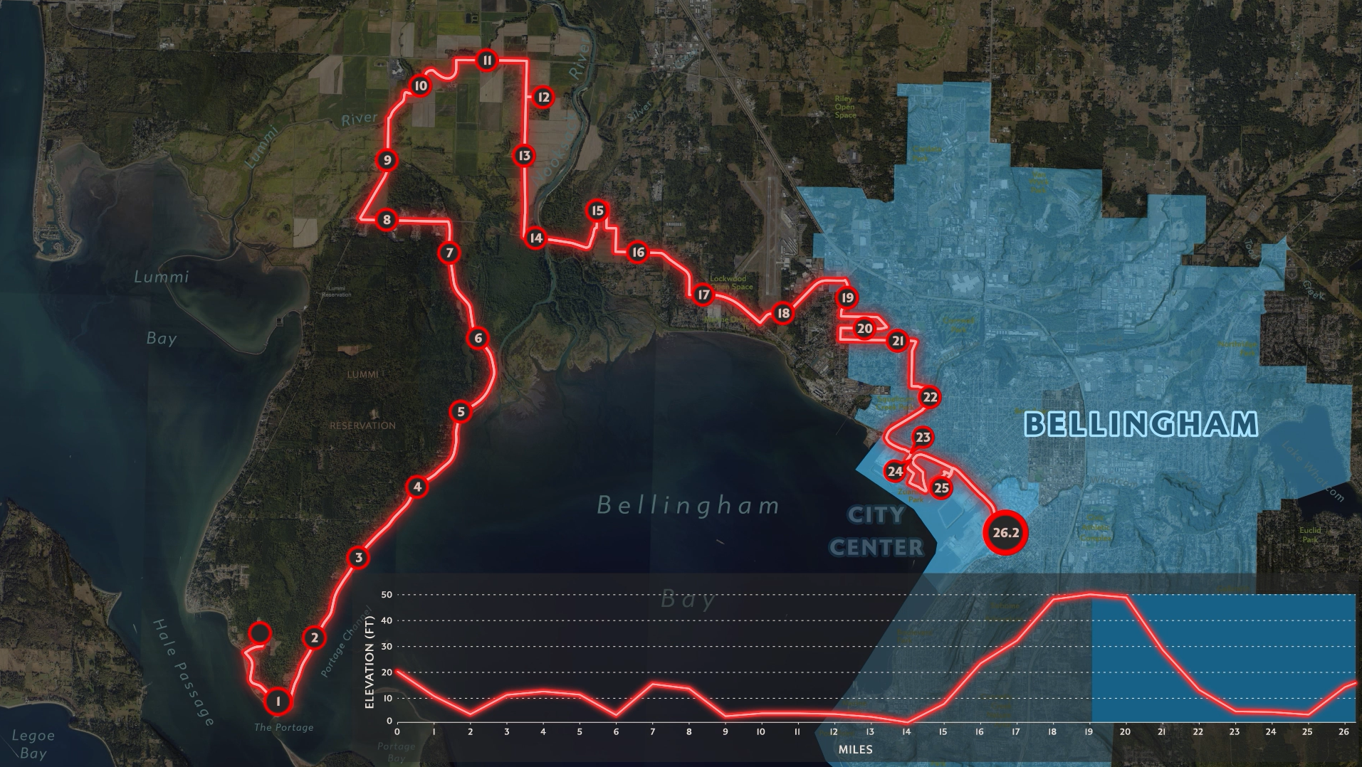
My latest video focuses on the Bellingham Bay Marathon race. I created this video to demo my preferred workflow for animating maps.
- Data analysis and GIS in ArcGIS Pro. Once I am done with this step, I export the map(s) as an AIX file(s).
- Open the AIX file in Adobe Illustrator (using Esri’s Maps for Adobe). I perform the vast majority of cartographic aesthetics in Adobe Illustrator.
- Export the Adobe Illustrator layers to Adobe After Effects where I perform the animation.
This time I included Adobe Premiere Pro, which was fantastic for audio engineering. I certainly will continue to use this tool in future map projects.
This map was a make-as-I-go endeavor. I had no road map (no pun intended). Rather, the intent was to incorporate as many beginner steps as I could for an upcoming demo I will be giving for the North American Cartographic Information Society. Animating in After Effects can include many things, and I wanted to incorporate workflows that I could demo to an audience of talented mapmakers who may have never heard about After Effects.


