My former boss, Clint Loveman, was a wonderful person to work with. He was imaginative, smart, supportive, and fun. He took the work seriously, but had a huge allowance for levity. Working with him was like working with a friend – because he was a friend. He left this world way too soon.
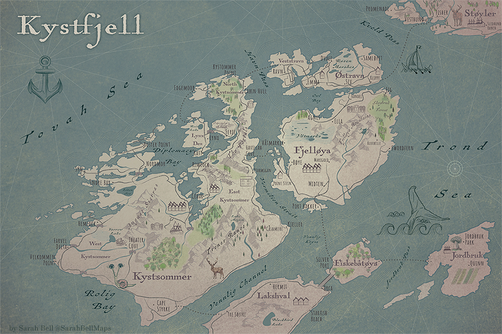
He saw what I was doing with Adobe Illustrator and mapping. I showed him what a great cartography tool it is when you open your GIS map. This sparked an idea in the mind of Clint: connect ArcGIS to Adobe Illustrator. So he pulled me onto an adhoc prototype team, and we built ArcGIS Maps for Adobe. While we were still in the very early days of this mapping application, he would often ask me to test the boundaries of the software by making new maps. No argument from me! Mapping is the best. One day Clint asked me to try to make a fantasy map. Now you might be thinking that you don’t need mapping software to make a fantasy map. But oftentimes we cartographers can identify the geographical wrongness of a fantasy map. So starting with true geography data can be a pretty great approach to avoid this.
I chose some islands from coastal Norway. I removed some, rotated some, and repositioned a few as well. This was quite a while ago now. I’ve made a few fantasy maps since then, all in my imaginary world of Kystfjell.

